The Digital Humanities Laboratory at the University of Navarra has launched a website that maps the incidence of coronavirus cases in Navarre
The maps show the number and distribution of infection in the region’s 57 healthcare areas, to trace patterns in the spread of the virus
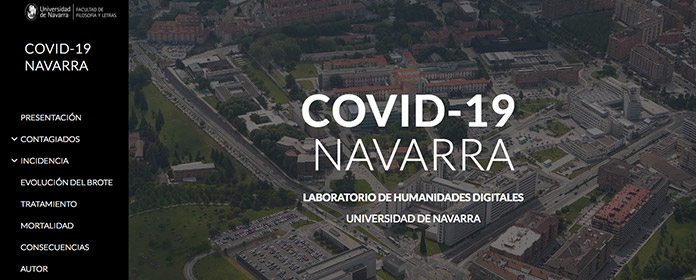
The Digital Humanities Laboratory at the University of Navarra has launched a website that collects geographical information about the spread of coronavirus in the Autonomous Region of Navarre. Based on information from official sources – the Department of Health, Regional Government of Navarre, and the Ministry of Health, Government of Spain – the website presents interactive data and maps that enable the visualization of spatial patterns in the spread of the virus.
In addition to displaying geolocated information, which is updated daily, the website aims to outline predictive models. As the project leader, Juan José Pons (Professor of Geography and Open Space Planning), explains: “the Government of Navarre has begun to provide a breakdown of data by healthcare area, which prompted us to develop this website". In his view, "geographical factors are essential to understanding the evolution of a pandemic and to making the right decisions to combat it.”
The first section on infection shows – in absolute terms – data on the number of those affected by the pandemic, distinguishing between the accumulated value from the beginning of the outbreak and the number of new cases detected each day. “They show that the number of cases detected daily peaked around the 25-26 March and has begun to decline. There is also a decrease during the weekends, a pattern already highlighted by the regional authorities”.
Spatial distribution: areas registering no infection and areas registering over 100 casesThe maps also show spatial distribution based on the data provided by the Regional Government of Navarre, broken down by healthcare area (57 in total). “The pandemic has spread throughout the region. Only one area has registered no cases (Isaba), and nine others have recorded a very low number of cases (under 10). At the other end of the spectrum, ten healthcare areas have registered more than 100 confirmed cases, all of them in the city of Pamplona and its environs, with the exception of the town of Tafalla”.
There is a special section relating to healthcare personnel. While the percentage of those infected as a proportion of the total number of healthcare workers is not high (less than 4%), “healthcare professionals account for a significant proportion of total coronavirus cases (over 20% at one point)”, Pons noted.
More data will be uploaded in the coming days, as well as additional analyses of the spatial and temporal dimensions of the pandemic. "In the mid- to long terms, it will also be interesting to address the consequences of this crisis from a variety of perspectives.” Pons argues that, “Geography can offer an integrated interpretation of the demographic, economic, political, environmental, mobility, etc., impacts of COVID-19”.